SERVICES
")
Police response coordination
Experimental or search investigation, or raids, scrutinies need constant tracking of the place of investigation from remote access for the provision of updated information to the troops. Drones provide a bird’s eye view of the actual situation.
Training and Evaluation
Expert training and proper evaluation form a large part of security services. Complete knowledge and application of UAVs is the prime need for security training. Feasibility and technical known-how of drones act as a great support system for security services.
Inventory and records
Maintenance and management of inventory and stocks, their records, are handled in a more accurate and precise way by using drones or UAVs. Constant updates in records help reduce damage costs and wastage. Resources can be optimised well with the use of technology.
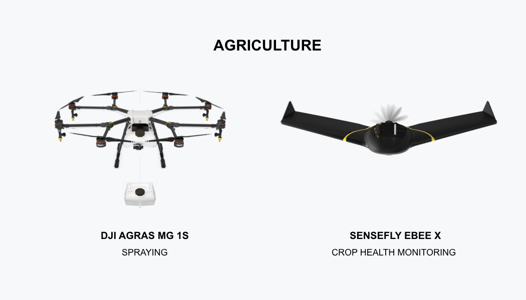
Agricultural operations and management
Enhanced and precise imaging serves as an assessment tool for crop health, climatic predictions, atmospheric changes, and their effect on crops. It helps in predictions, provisions, and other agriculture-related decisions.
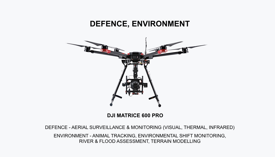
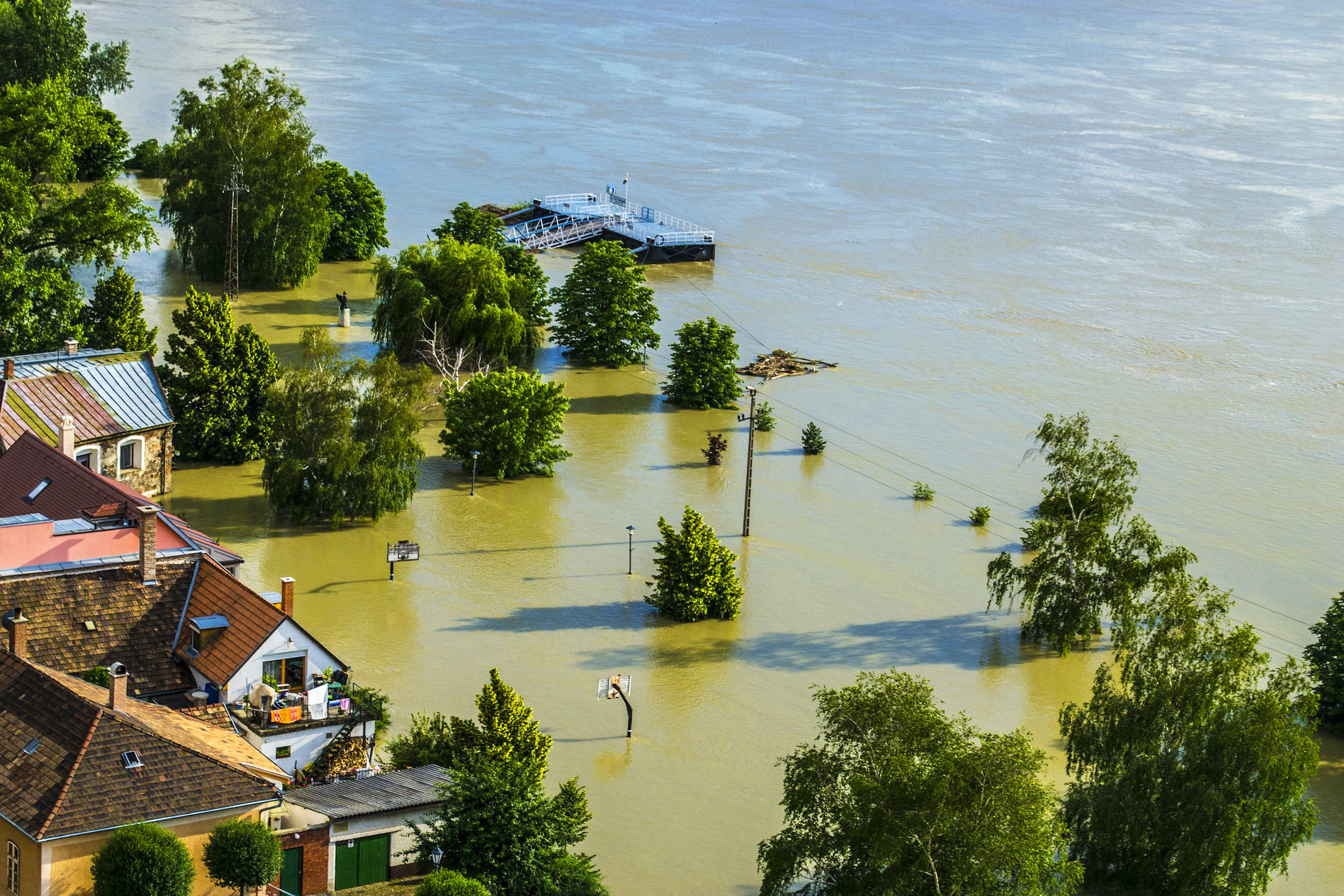
Hazard assessment
Damages on the environment due to various reasons should be assessed time and again. More loss can be reduced, and measures in the right direction can be applied. Monitoring and mapping samples are shared with environmental experts for better and more informed future decisions.
Wildlife and habitat monitoring protection
Conservation of wildlife and the actions supporting that are extremely important. Unfortunately, humans can not reach everywhere due to many reasons like attacks, dense forests, and so on. UAVs can efficiently work in this regard by tracking wildlife, vegetation along with highlighting the needs and challenges of such areas.
")

")