OIL & GAS
Challenges
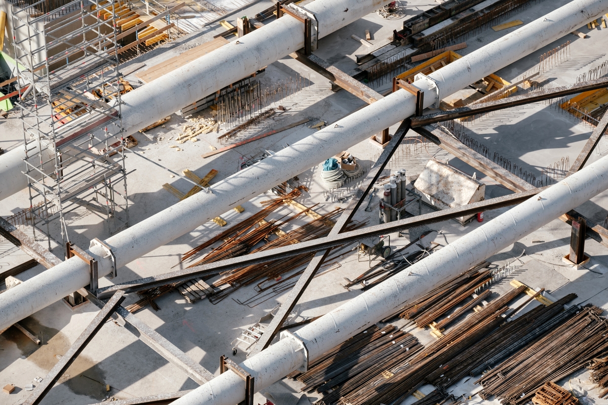
Activities like surveying all the oil and gas pipelines, decks, containers, etc. causes several troubles while carrying them out manually.
Increasing accidents, unknown damages, uninspected destruction, etc increases the risk of facing a severe loss in the industry as well as to the workers.
Description
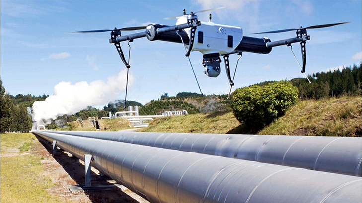
Drones aid and upgrade towards the way of analysis and sustenance of goods, sites, pipelines, storage tanks, and offshore platforms. This technology can be employed by saving momentous extent of time and costs with no trouble for rapid and precise surveys to investigate the areas which cannot be reached manually.
Delivery drones are the vehicles which can hold a certain amount of weight for distant distributions. They are used for delivering materials across a measurable geographic area where human help can not reach on time, in cases of emergency.

Services
Identification of leaks, corrosion, vegetation, encroachment, theft, sabotage, asset monitoring.
Hazard assessment
Increasing deterioration and damages on oil and gas pipelines, decks, containers, etc. due to various reasons should be assessed time and again. More loss can be reduced, and preventive measures can be applied. Constant monitoring and inspection should be done for better and more informed future decisions.
Solution
Quick and safe surveys can be conducted with the use of drones as they can reach easily towards high altitude areas, steep and low areas, can cover a large field area for detailed analysis within minutes, and identify the damages like leaks and cracks in pipelines, chipping of solar panels and wind turbines, minute damages, etc.
Windelite designs and constructs drones based on custom requirements and purposes by thoroughly studying the situations and challenges. We have some models ready for use that can serve the purpose of urgency and can be remodelled to serve a peculiar requirement.
Result
The results can be obtained through 3D maps, geological and seismic data, thermal maps, aerial mapping.
