GIS
Challenges
A lot of time and manual labour goes wasted while performing search and rescue missions, aid and delivery operations, collection of accurate data through mapping, etc.
The rising demand for time efficient services will never degrade which will keep on increasing the demand for quick, precise, reliable sources for performance.
Description
Geographical Information System gives unmanned aerial system the capability to be autonomous. Without the ability to follow a GPS-guided flight plan, a drone will be categorised under a plain radio controlled flying machine. More than that of the autonomous operation, certain drones carry multiple sensors.
If we observe things as per the atmospheric science, the benefits that these unmanned aerial vehicles provide in data collection make them notably impeccable for monitoring the surface of the earth, but also the atmosphere. These images that are collected by drones like these, develop into a potent source once placed into the GIS.

Services
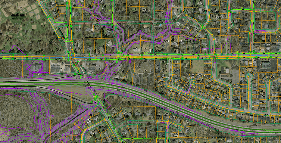
Overlay analysis, digitalisation, township planning, corridor mapping, transportation modelling, waterhead analysis, asset mapping, LIDAR survey, video tours / videography, base mapping, canal surveys.
Solution
A drone would simply be termed as a radio-controlled flying object if it did not include the expertise ability to be autonomous.
They are time-savers as minimum manual labour is required for various operations wherein the drones equipped with cameras have the ability to transfer multiple types of GIS data and decreases the expenses to a high amount.
Windelite designs and constructs drones based on custom requirements and purposes by thoroughly studying the situations and challenges. We have some models ready for use that can serve the purpose of urgency and can be remodelled to serve a peculiar requirement.
Result
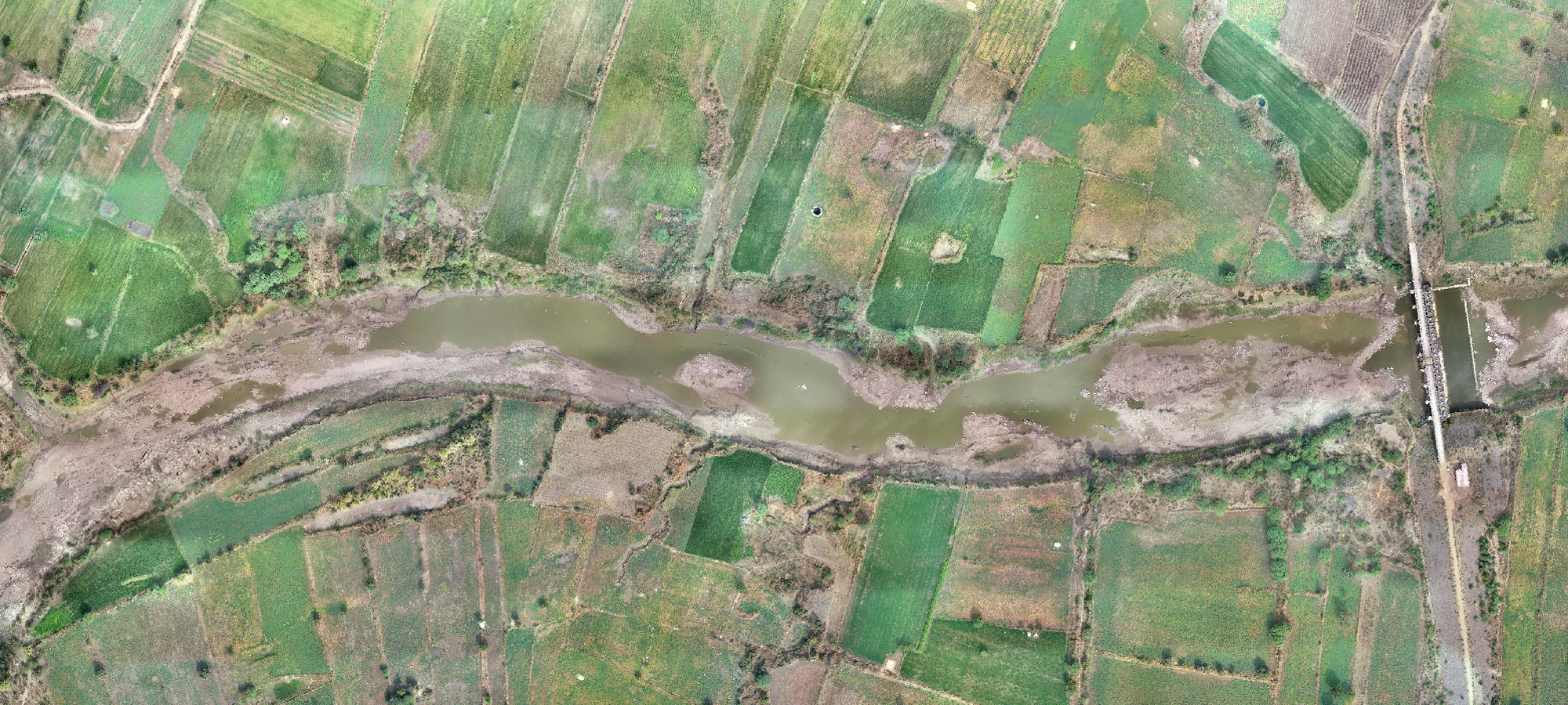
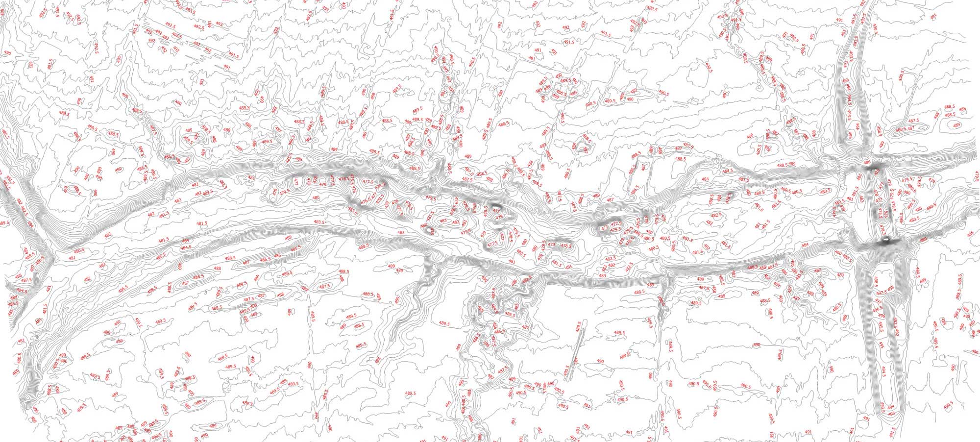
The results can be obtained through orthomosaics, contour maps, digital surface model, digital elevation model, point cloud, 3D model.

