ENVIRONMENT
Challenges
Monitoring the increasing changes in the environment, timely inspection of flood and drought prone areas, surveying and monitoring wildlife and aquatic ecosystems, aerial inspection and monitoring of land areas after sudden climatic changes.
Description
Application of drones for the inspection of the ever changing environment has proven to be quite effective as they provide much better speed, efficiency, safety and systems for data collection and management. Inspections carried out through drones are safe as no manual labour is used, the UAV can be accessed from ground level and acquire accurate data with real-time images at the same time.

Services
Environmental monitoring, thermal inspection, disaster relief operations, identify environmental issues & troubleshooting reports, preventive maintenance planning.
Disaster relief, post-disaster assessment, search and rescue
Our drones are put to a positive use which provides safety, protection and relief from the natural or man-made disaster that brings destruction and many times making the circumstances quite difficult and demanding that it makes it becomes beyond the bounds of possibility for the relief workers to reach out to the area and provide aid service.
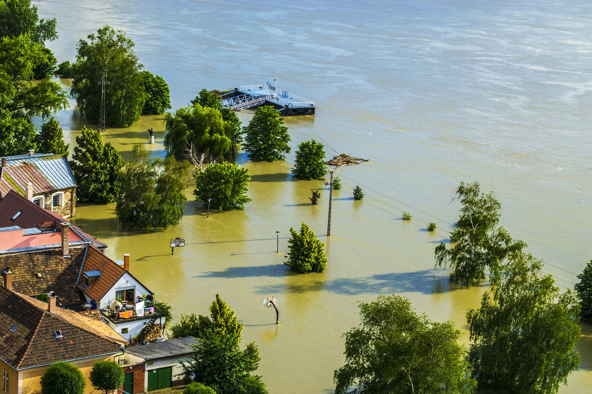
Flood and fire detection monitoring
Hot spot detection, during the intervention helping fire management with real time information and after suppression for post fire monitoring. Drones can help in these situations demonstratively, drone activity around a limited area also can help for the management.
As pre-disaster activity, drone following the stream of rivers can control the state of dams. In case of any unusual recognition the responsible authority can react in time for the problem.
Environmental hazard assessment
The harm caused to the environment by the excess use of hazardous materials by factories can be constrained and controlled with the help of the drones as an aerial view of the forests can be obtained through high-quality images.
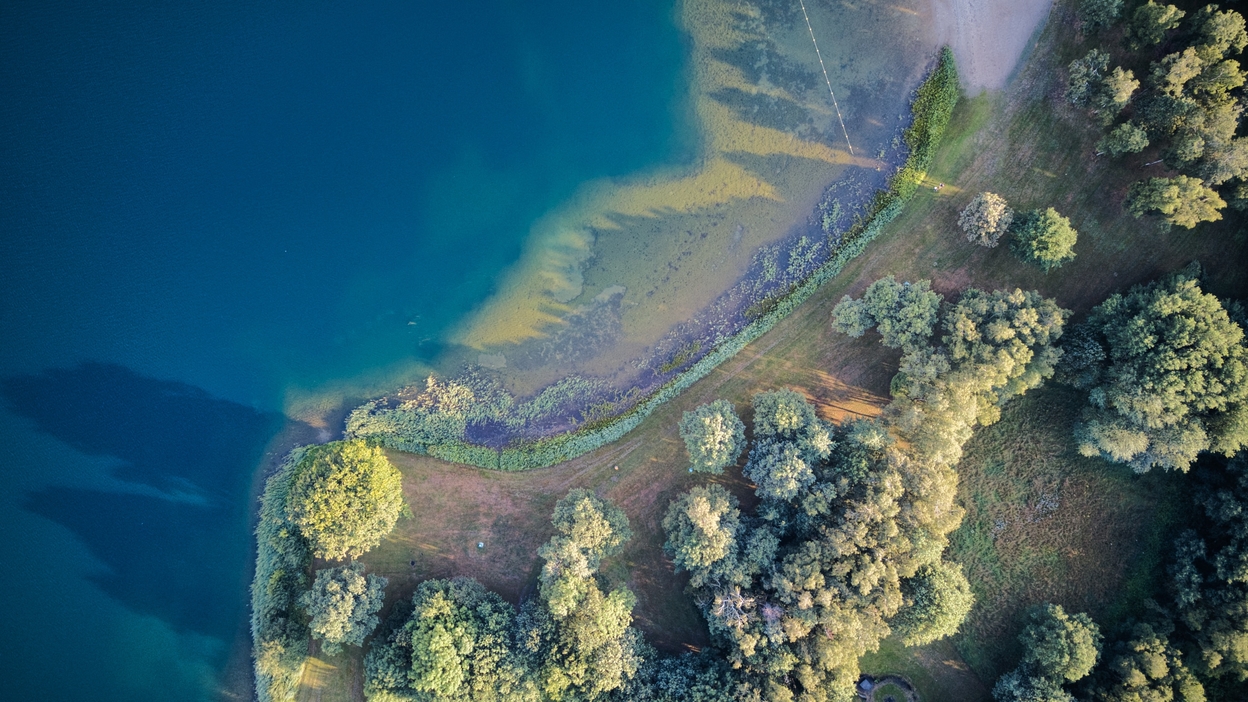
Wildlife and habitat monitoring protection
Drones are extremely beneficial in places where humans cannot easily or safely reach, or where we are unable to perform functions in a timely and efficient manner. Drones can hover all over the place and provide us with the necessary information through images which helps to conserve and keep a track of the activities happening around in wild and aquatic life.
Solution
A quick and better inspection can be done by using drones as they require a less amount of time. Precise details and clear images help in identifying the damaged areas of the environment. Fast and repetitive aerial surveys provide a track investigation from one area to another.
Windelite designs and constructs drones based on custom requirements and purposes by thoroughly studying the situations and challenges. We have some models ready for use that can serve the purpose of urgency and can be remodelled to serve a peculiar requirement.
Result
The results can be obtained through 2D and 3D maps and terrain models, geological and seismic data, thermal maps, aerial mapping, water level and livestock monitoring, etc.
